
The chart is beautiful. The data is serious.
Where the data comes from
Every chart starts as Electronic Navigational Chart data published by the NOAA Office of Coast Survey: the same vector survey data that feeds professional navigation systems. NOAA updates these files continuously, and we pull current editions at the moment your chart is drawn.
What we never change
Coastlines, depth soundings, contours, wrecks, rocks and obstructions are never redrawn, invented or omitted by hand or by software judgment. Projection to your print is the only transformation the geometry undergoes. Our themes decide how features are drawn, sized and labeled. They never decide where anything is or how deep the water runs.
The manifest on every chart
Each chart ships with a record of exactly which NOAA cells, editions and update dates it was drawn from, fingerprinted file by file. An excerpt from the Portsmouth pilot:
Same waters, different drawing
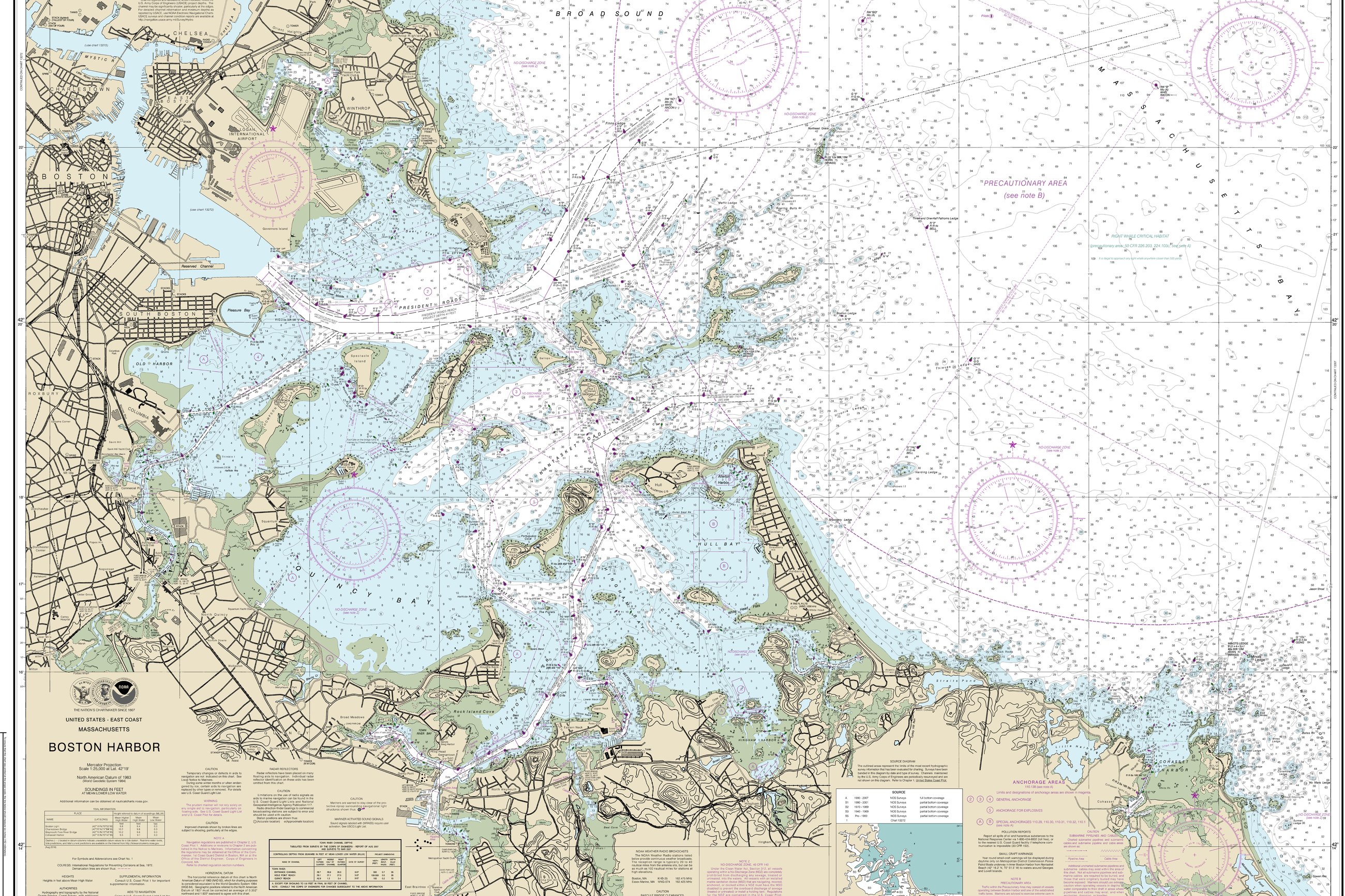
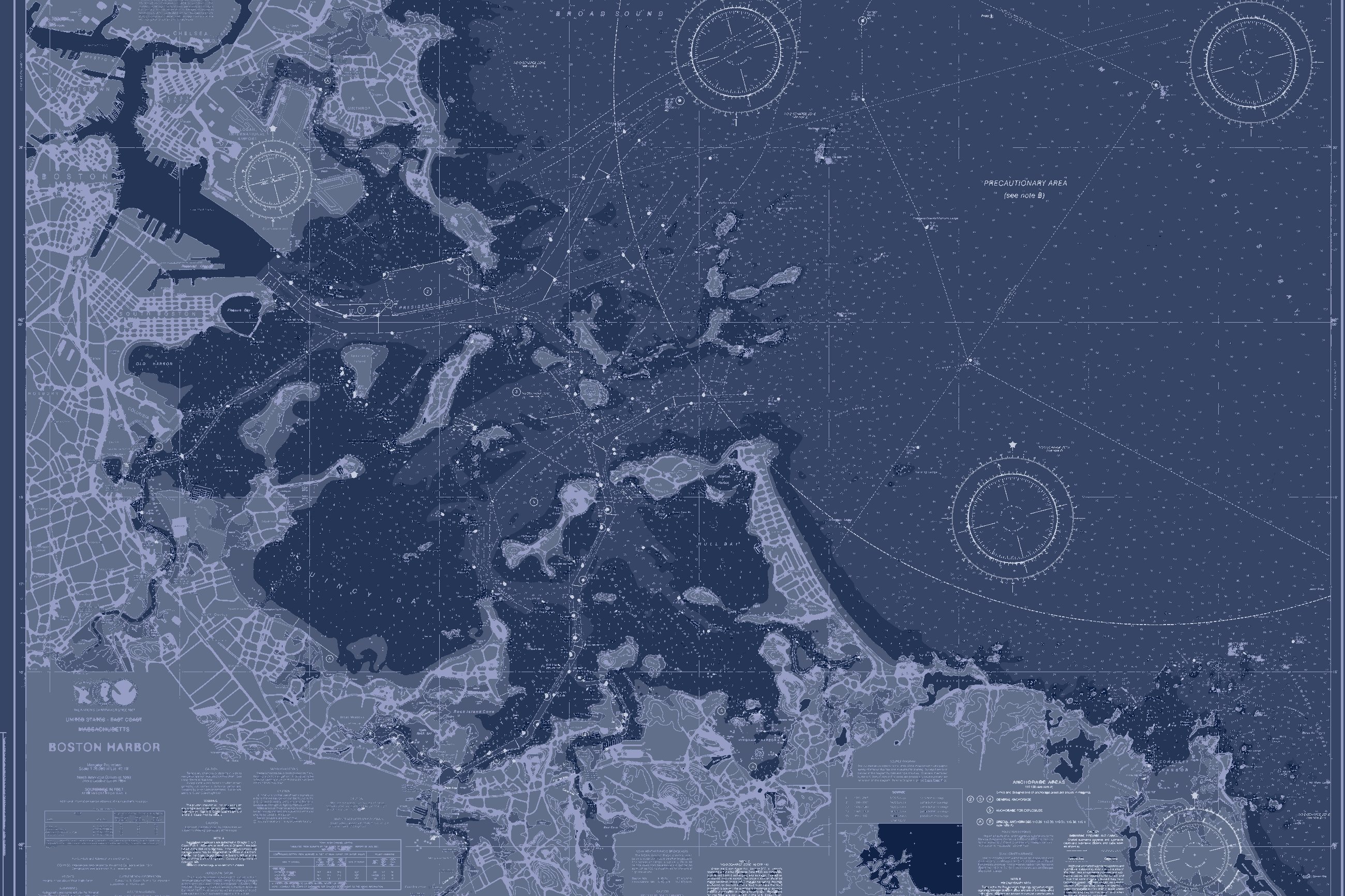
Here is the original NOAA chart beside one of our palettes. Every sounding, contour and buoy matches. Only the color changes.
Why "not for navigation"
A printed poster has no updates, no positioning and no warnings. Official ENCs remain the navigation product; this is artwork that refuses to lie about the seafloor. The disclaimer appears on every chart because it is true, not because the data is weak.
Built to hang beside the antiques.
Serious data deserves a serious object. Archival pigment on cotton rag, hardwood frames, and finishes applied by hand on premium editions. Materials are paired to each palette, not chosen from a dropdown.

Paper and ink
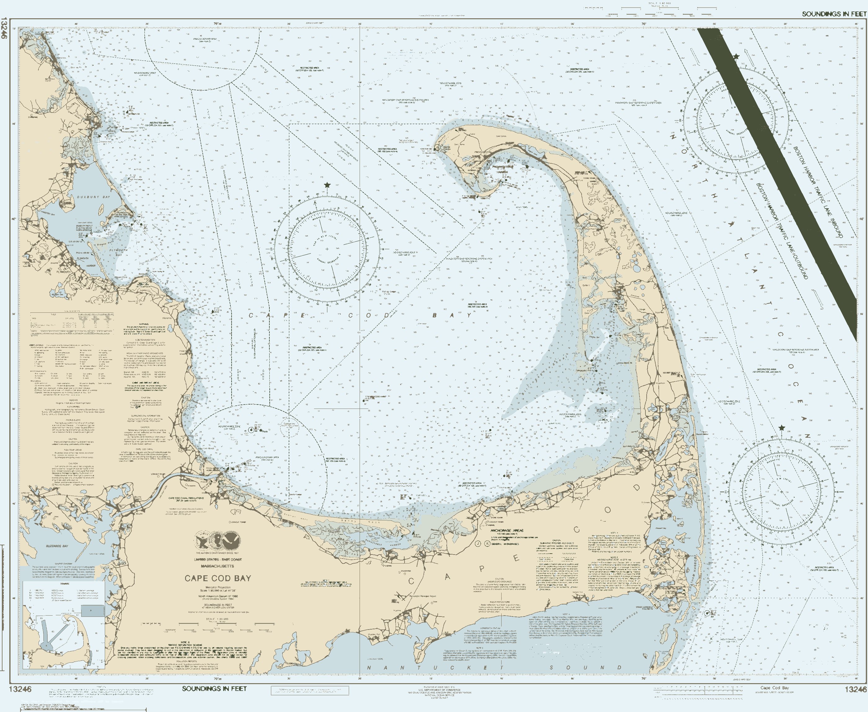
Heavy matte cotton rag carries dense flood colors without gloss and holds hairline contours without bleed. Pigment inks are rated for generations, not seasons. Line weights are calibrated against physical print tests, because a line that looks right on a screen can vanish on paper.
Frames and finishes
Blackened ash, limed oak, walnut and gilt-edge, matched to each palette. Premium editions add letterpress titles, blind-debossed coastlines and foil route lines. Collector work is numbered and shipped with a provenance card.
Pairings by palette
| PALETTE | KIND | SUGGESTED FRAME |
|---|---|---|
| Nor'easter | Full color | Walnut |
| Sea Smoke | Full color | Walnut |
| Charthouse | Full color | Blackened ash |
| Riptide | Full color | Walnut |
| Salt Marsh | Full color | Limed oak |
| Reef Break | Full color | Walnut |
| Cold Front | Full color | Walnut |
| Estuary | Full color | Limed oak |
| Regatta | Full color | Walnut |
| Doubloon | Full color | Gilt-edge walnut |
| Sandbar | Full color | Antique oak |
| Quicksilver | Full color | Walnut |
| Rosefish | Full color | Natural maple |
| Sea Lavender | Full color | Natural maple |
| Oilskin | Full color | Walnut |
| Boathouse | Full color | Walnut |
| Dogwatch | Full color | Walnut |
| Eelgrass | Full color | Walnut |
| Sea Glass | Full color | Walnut |
| Copper Bottom | Full color | Walnut |
| Blackfish | Full color | Walnut |
| Skerry | Full color | Walnut |
| Conch | Full color | Walnut |
| Pink Lady | Full color | Walnut |
| Deep Channel | Full color | Walnut |
| Shorebreak | Full color | Walnut |
| Pilings | Full color | Walnut |
| Barrel | Full color | Walnut |
| Blueprint Blue | Single color | Blackened ash |
| Blueprint Black | Single color | Blackened ash |
| Oyster | Single color | Walnut |
| Celadon | Single color | Walnut |