
The real chart. Your color.
Genuine NOAA nautical charts of the waters you love, recolored to live on your wall.
On the wall
Made to live in a room.
Not a folder, not a phone. A chart of your water, framed and hung where you can actually see it.
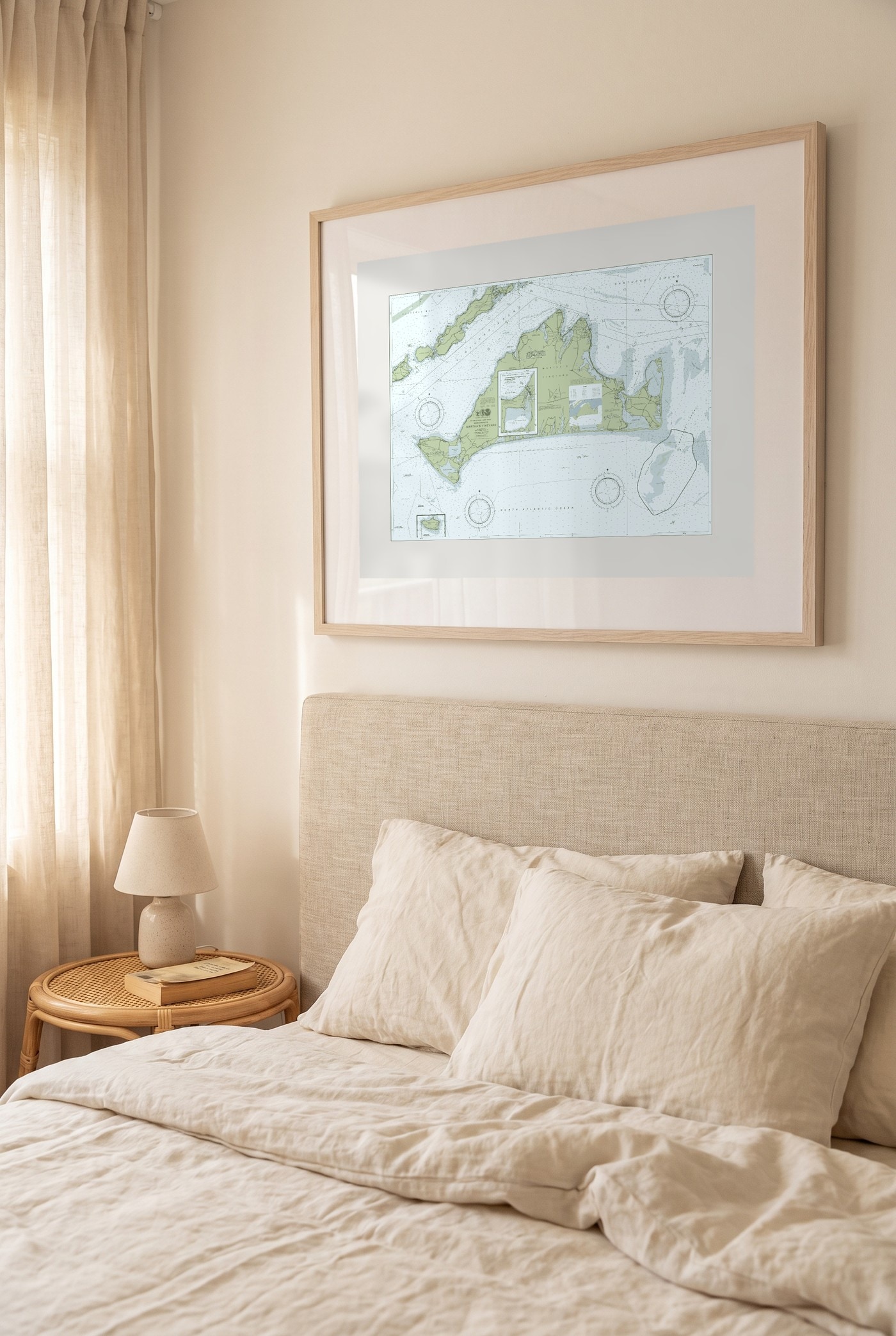
Martha's Vineyard
Regatta
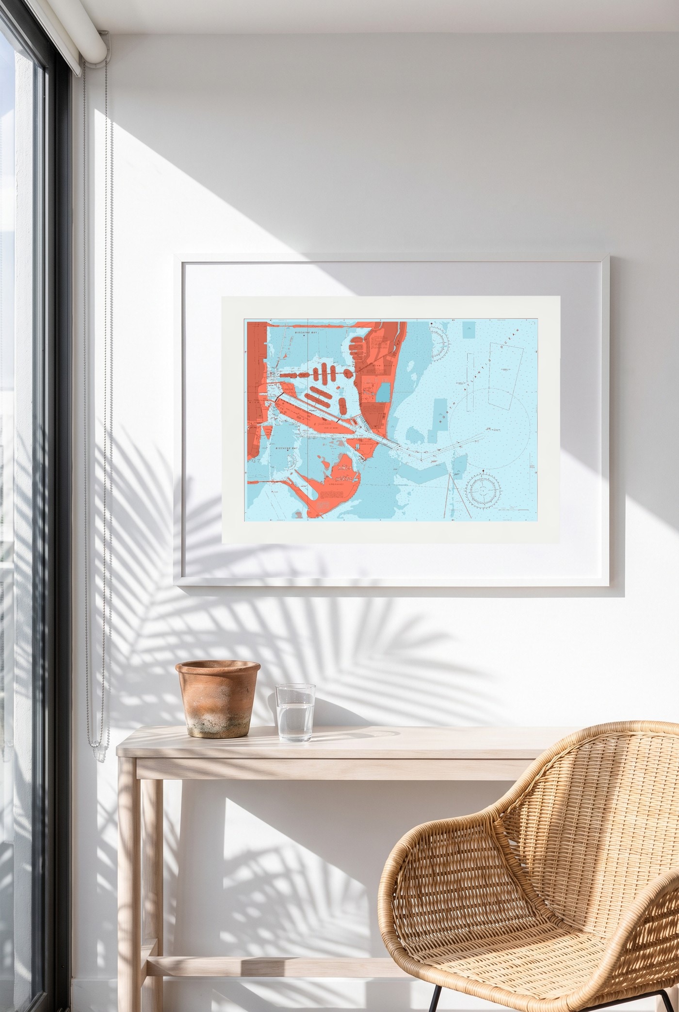
Miami Beach
Reef Break
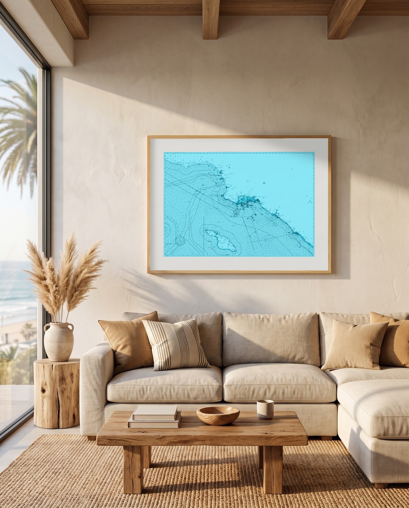
Los Angeles Beaches
Riptide
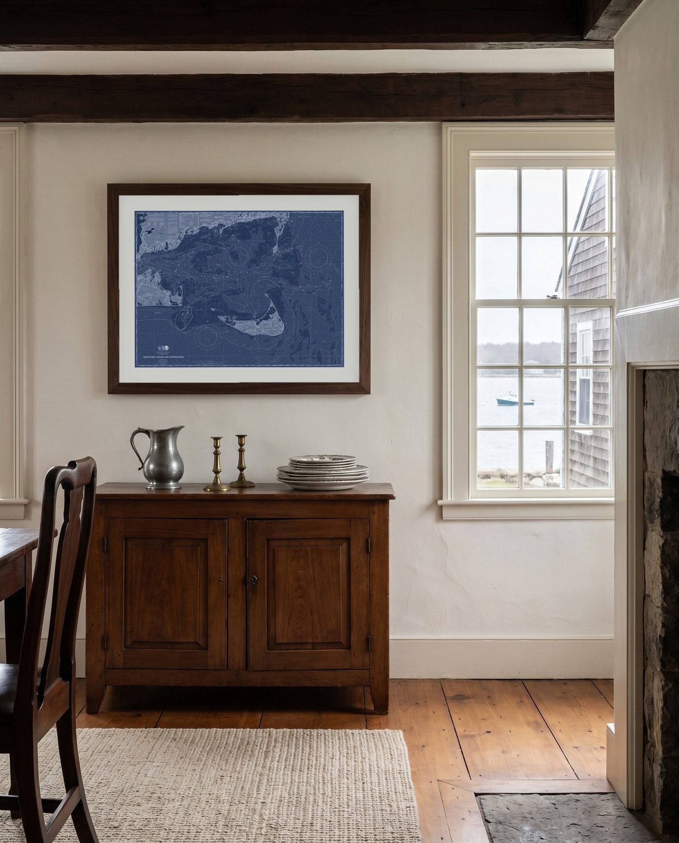
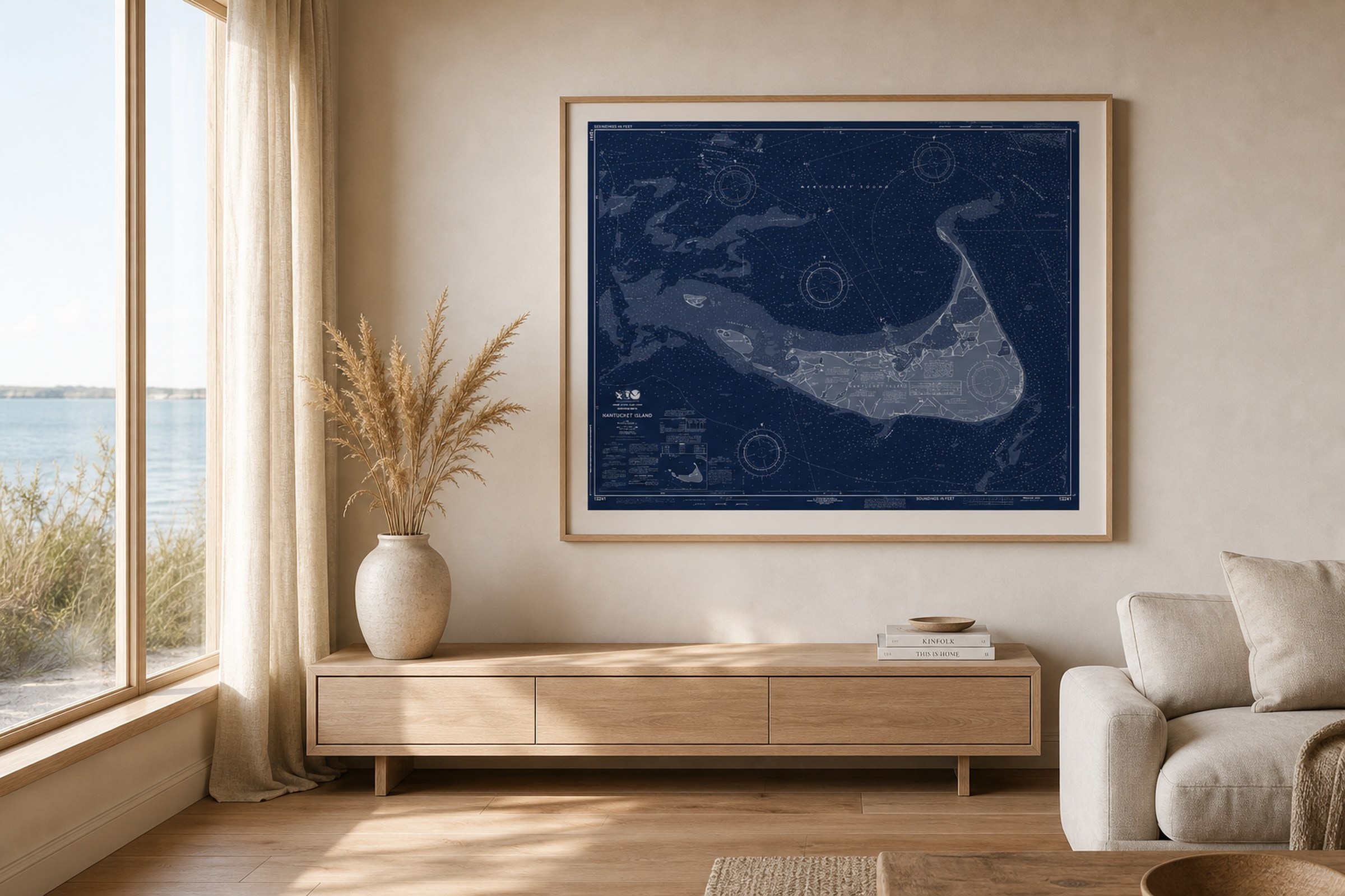
Nantucket Sound
Blueprint Blue
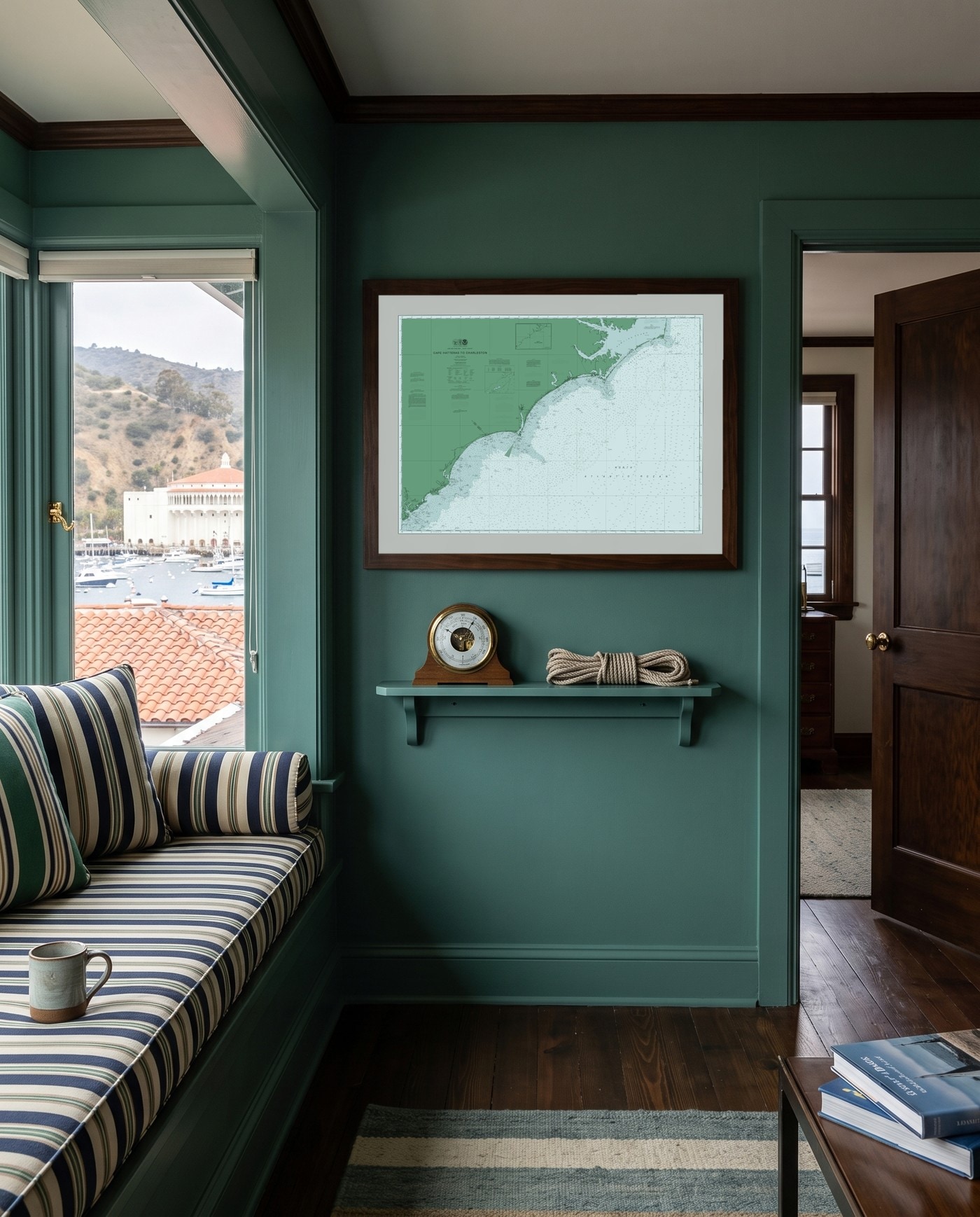
Cape Hatteras to Charleston
Salt Marsh
Pick a place. Pick a palette.
1
Pick your chart
Choose from real NOAA charts: harbors, sounds, whole coastlines. Each is the last edition the government published.
2
Pick your palette
4 single-color and 28 full-color palettes. The soundings, coastline and compass stay exactly where NOAA drew them.
3
Made to order
Sizes from $150, each sheet cut to its chart's own proportions so the map is never trimmed to fit. Matte cotton rag, pigment ink, edition-stamped with its exact NOAA source.
Start with your place
The waters you already know.
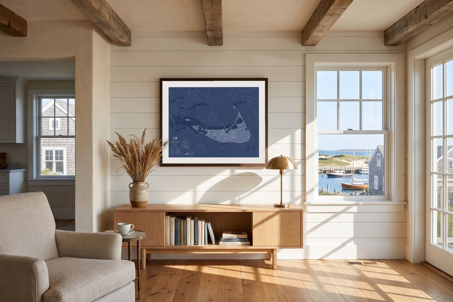
Nantucket
Thirty miles out — every shoal and flat of the Grey Lady.
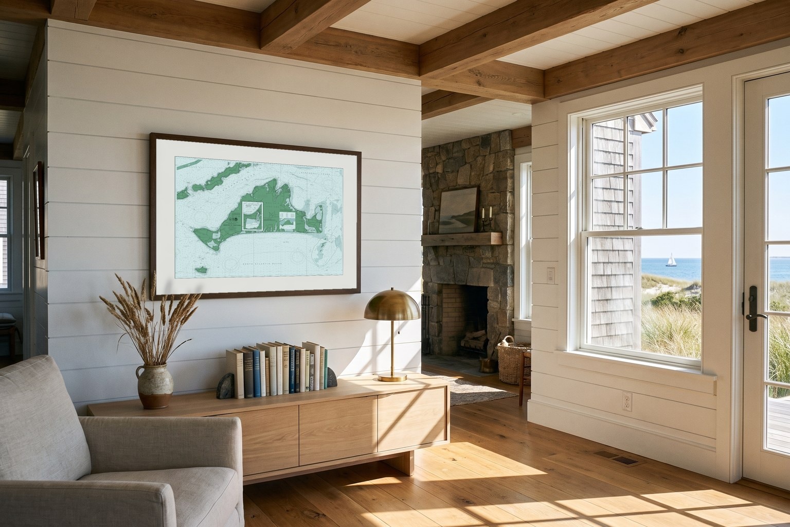
Martha's Vineyard
Vineyard Sound to Menemsha Pond.
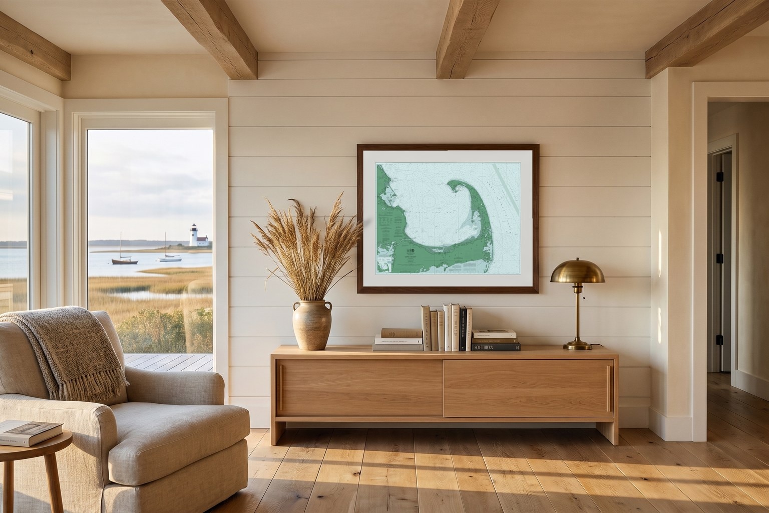
Cape Cod
The whole hook, bay to backshore.
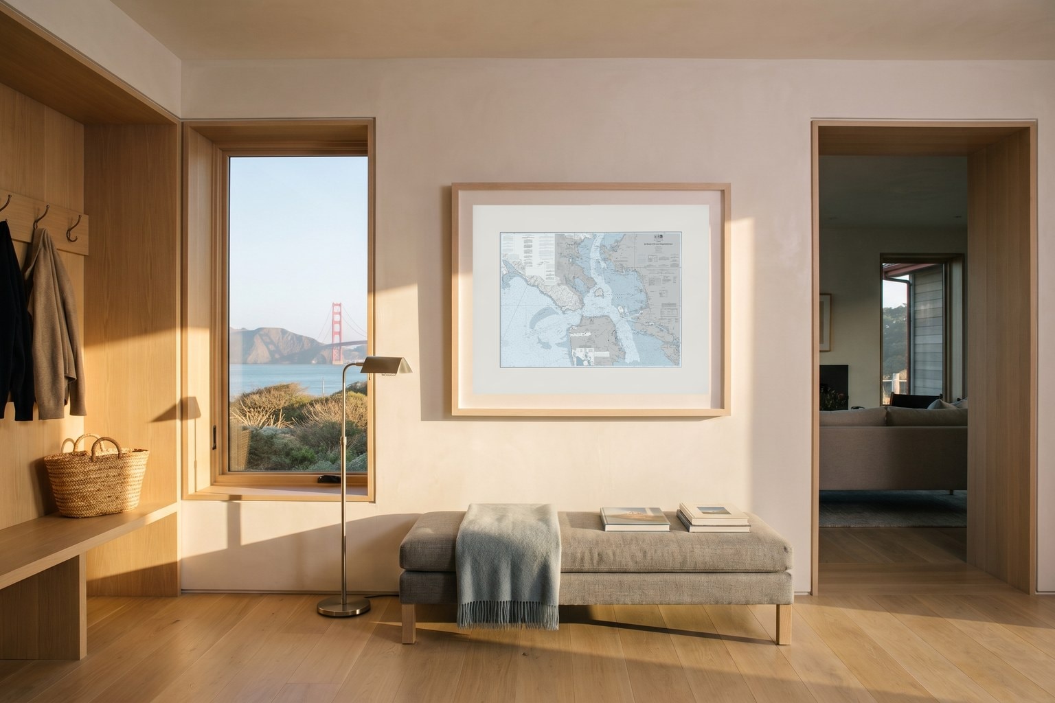
Golden Gate
Where the Pacific meets San Francisco Bay.
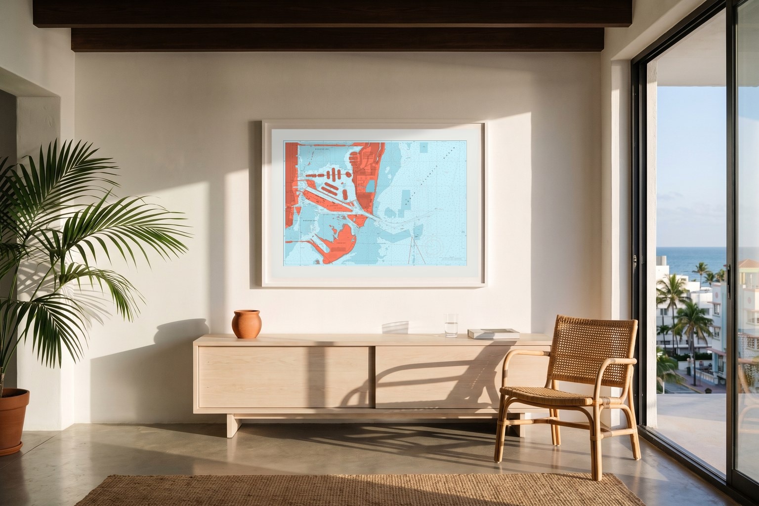
Miami Beach
Biscayne Bay, the harbor and the beach.
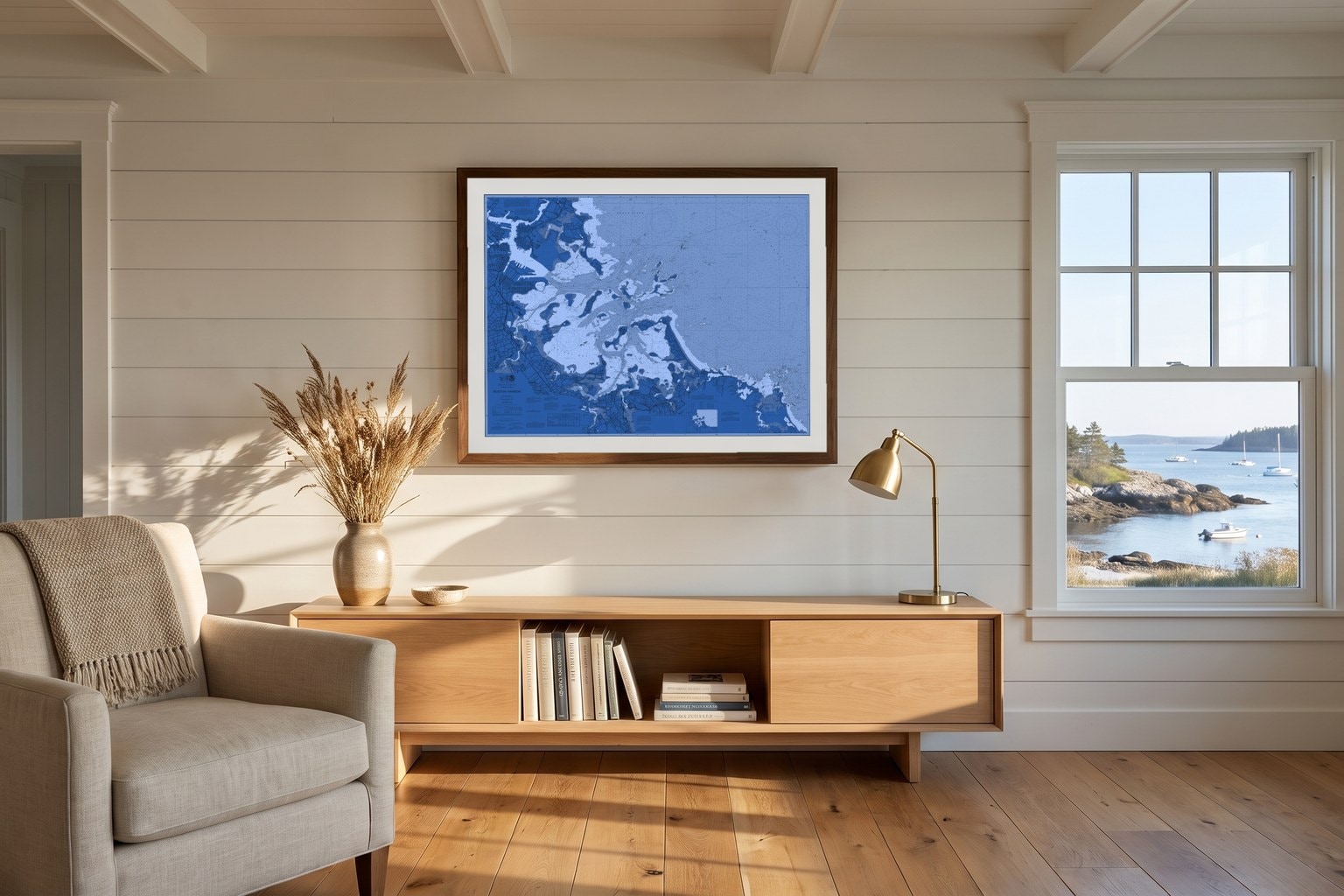
Boston Harbor
The islands and channels of the inner harbor.
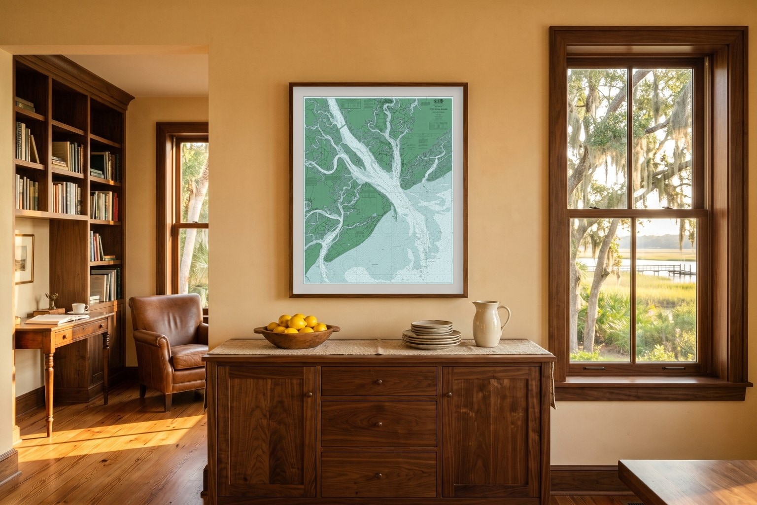
Hilton Head
Port Royal Sound and the Lowcountry.
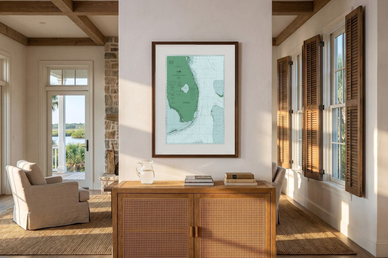
Cape Canaveral to Key West
Down Florida's Atlantic coast to the Keys.
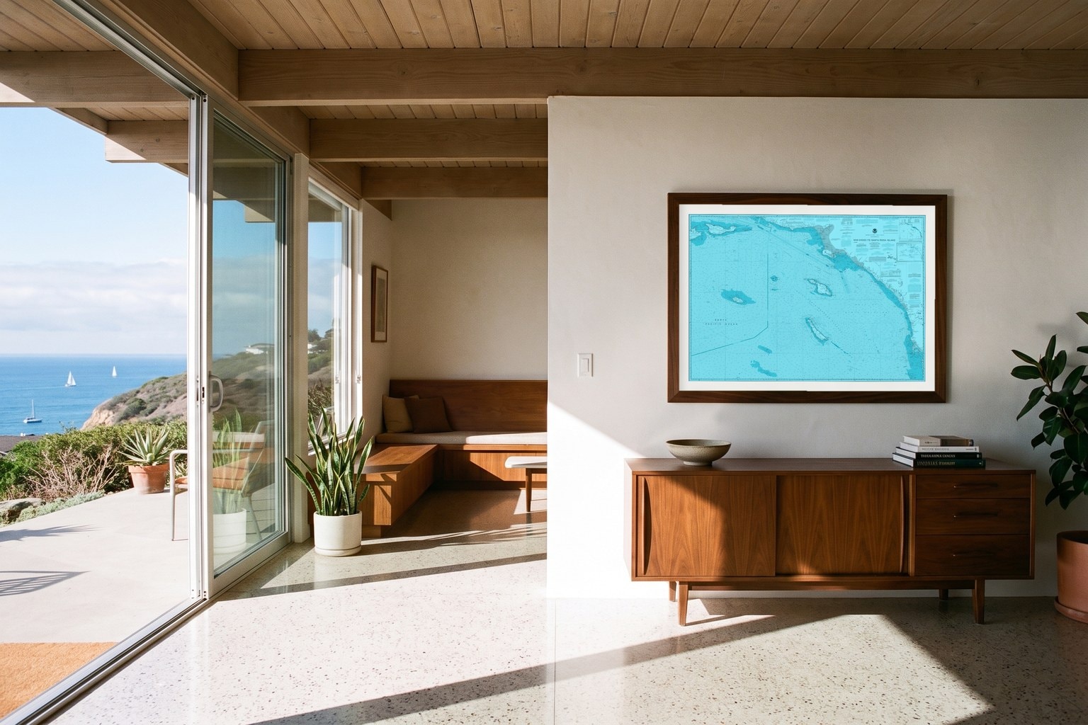
San Diego
The bay and the coast running north.
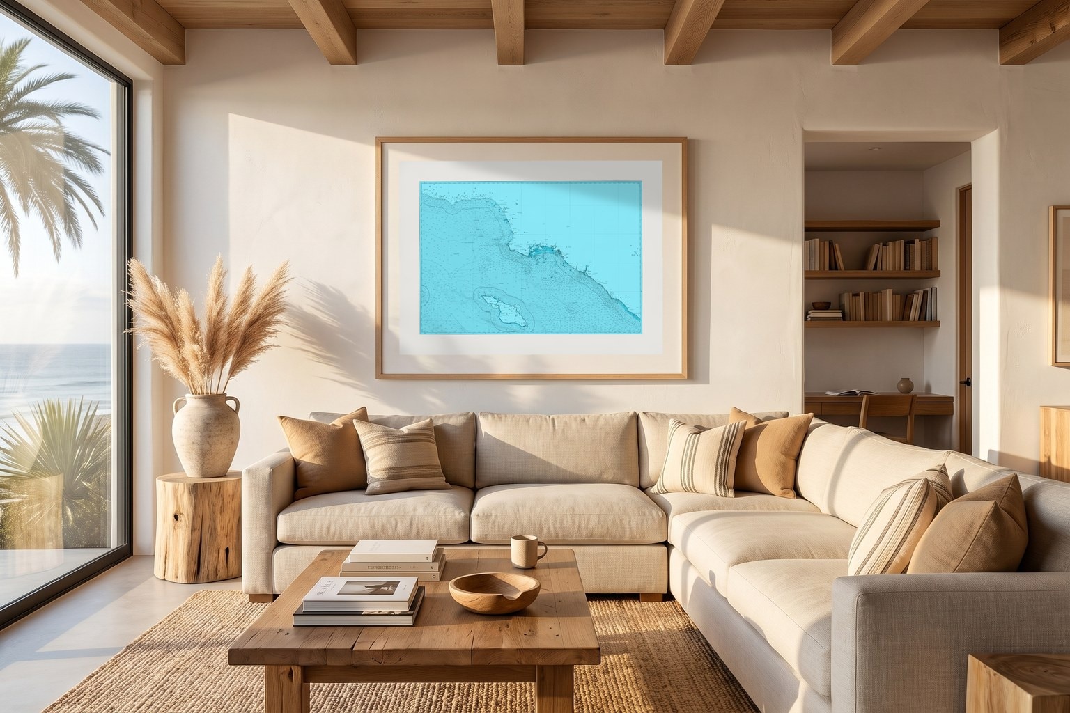
Los Angeles Beaches
Santa Monica Bay to Dana Point, with Catalina.
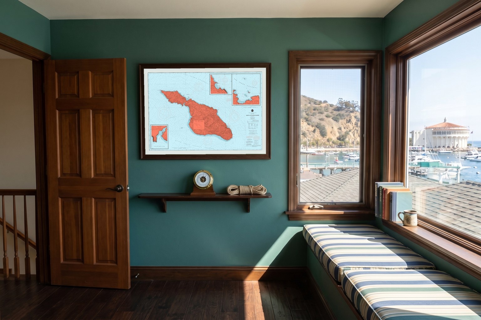
Catalina Island
Avalon, Two Harbors and the channel across.
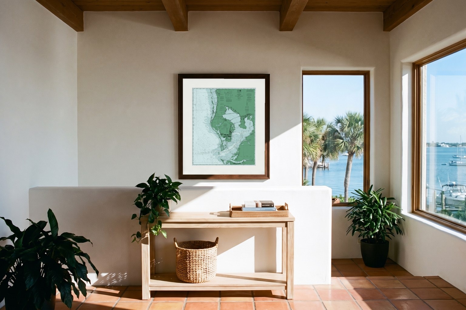
Tampa Bay
The bay, the passes and the Gulf beaches.
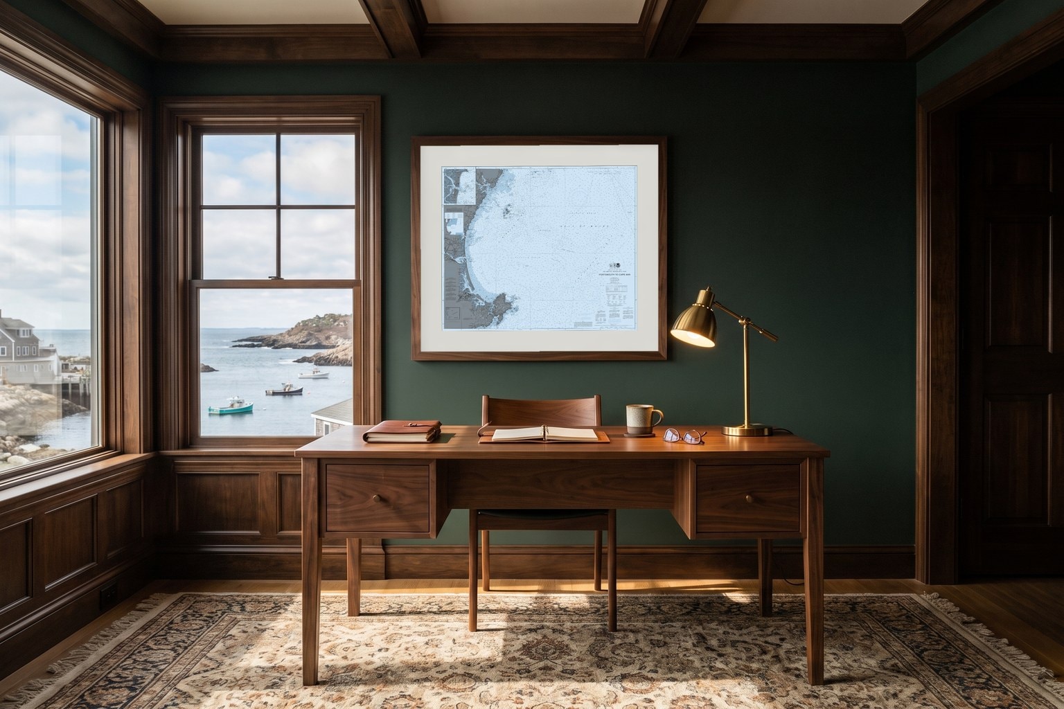
Portsmouth
The Piscataqua and the working harbor.
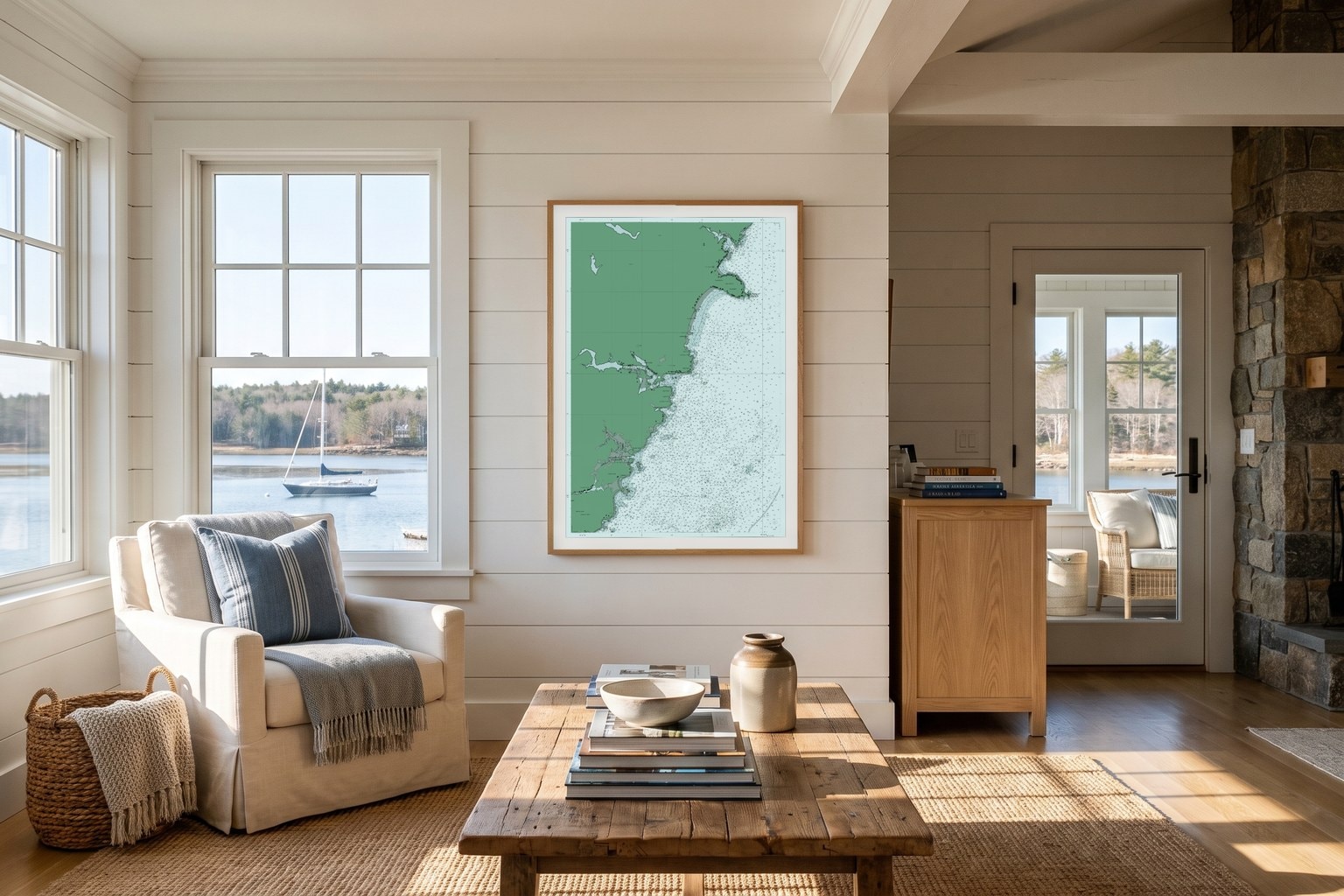
York, Maine
York Beach to Cape Neddick and the Nubble.
Or start with a series
Four ways to color your water.
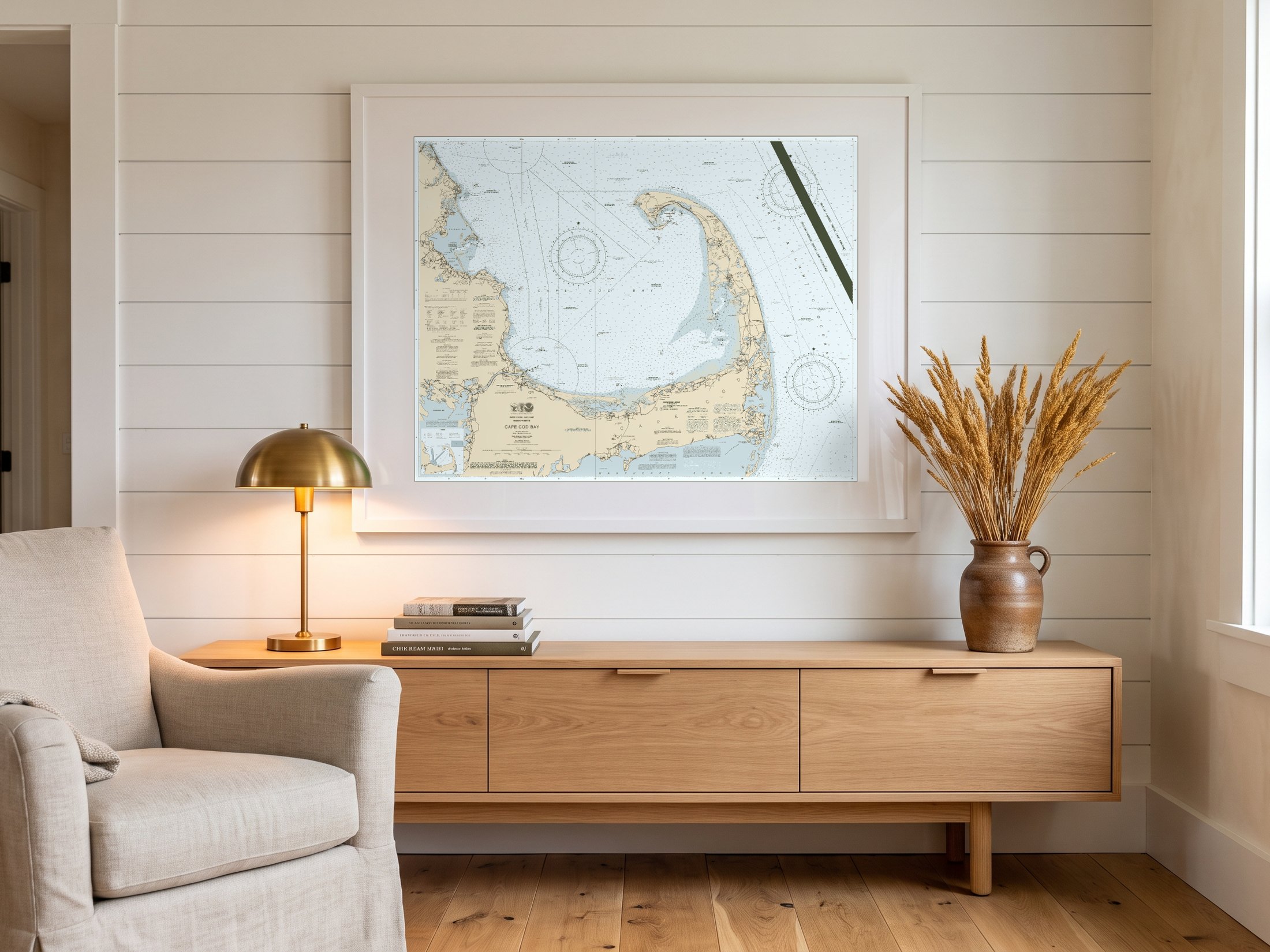
The Nautical Series
Charthouse, Salt Marsh, Cold Front, Estuary. The chart's own palette, quietly refined.
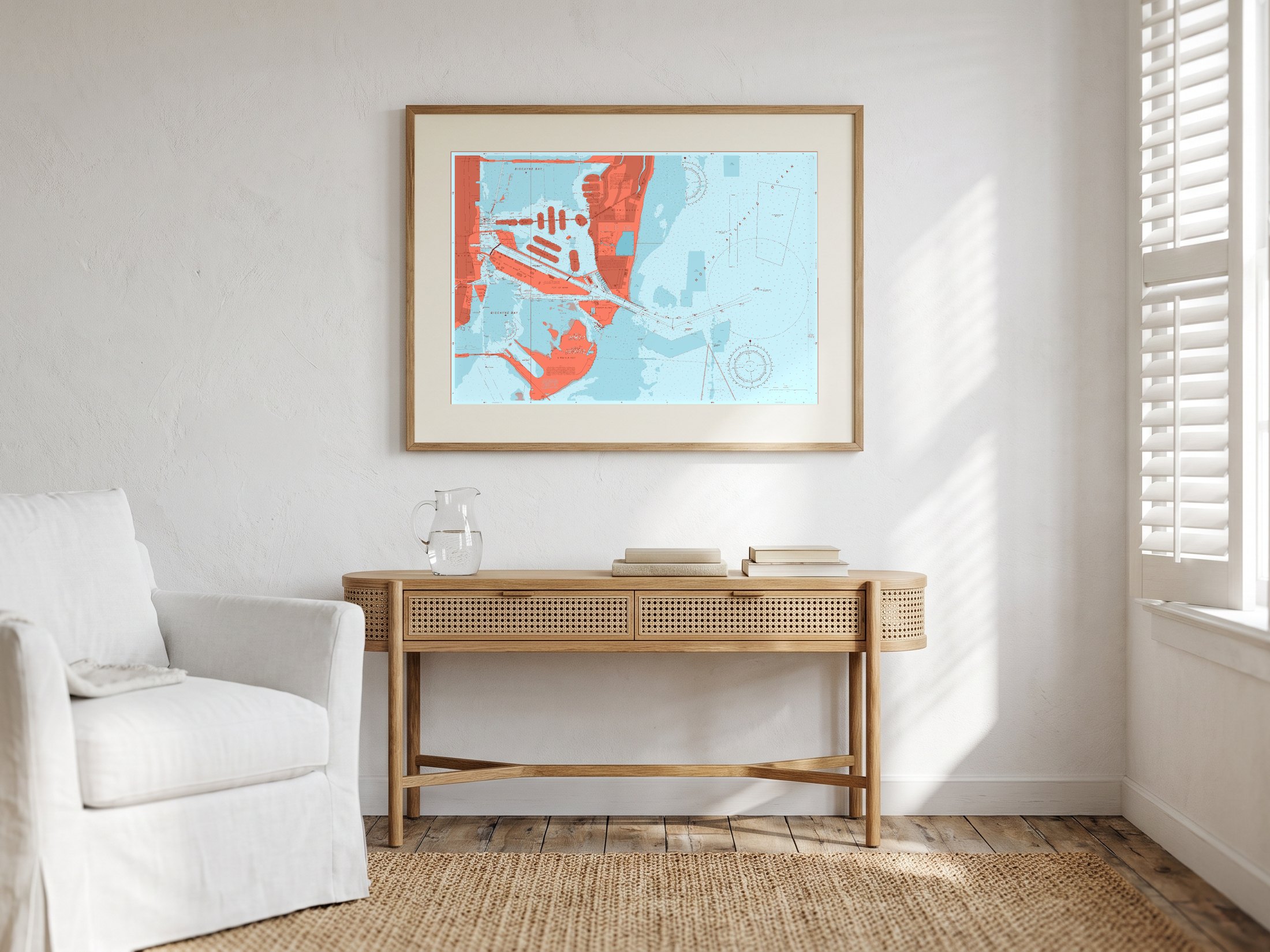
The Colorful Series
Doubloon, Rosefish, Reef Break, Conch. The chart as a statement in color.
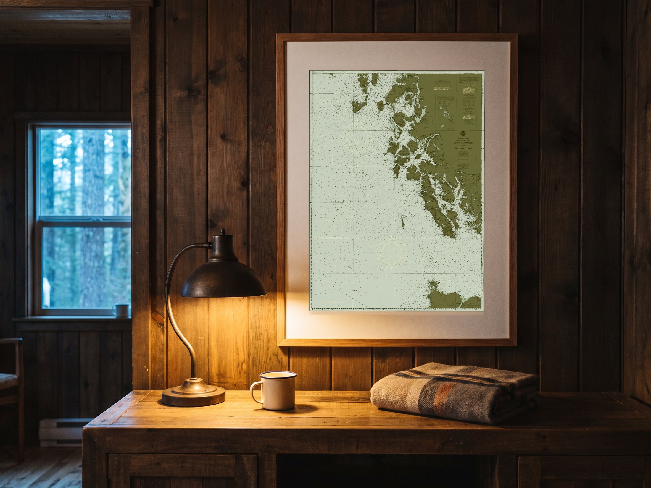
The Weathered Series
Eelgrass, Boathouse, Plum Noir, Sea Glass. Color, turned down — dark land on pale water.
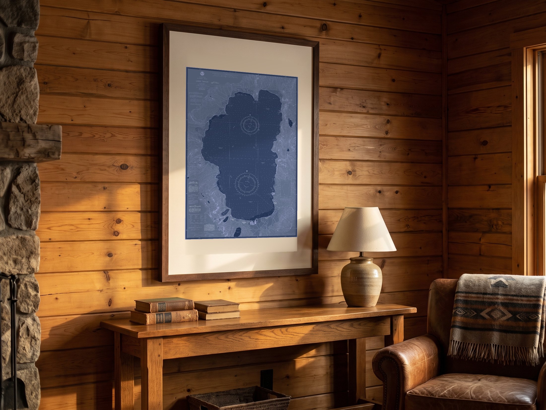
The Blueprint Series
Blueprint Blue, Black and Charcoal. White linework on deep navy — the soundings become the drawing.
The same charts professional mariners use. We change their color. We never change what they say.