Cold Front · nautical
NOAA 13283 · NH · ME
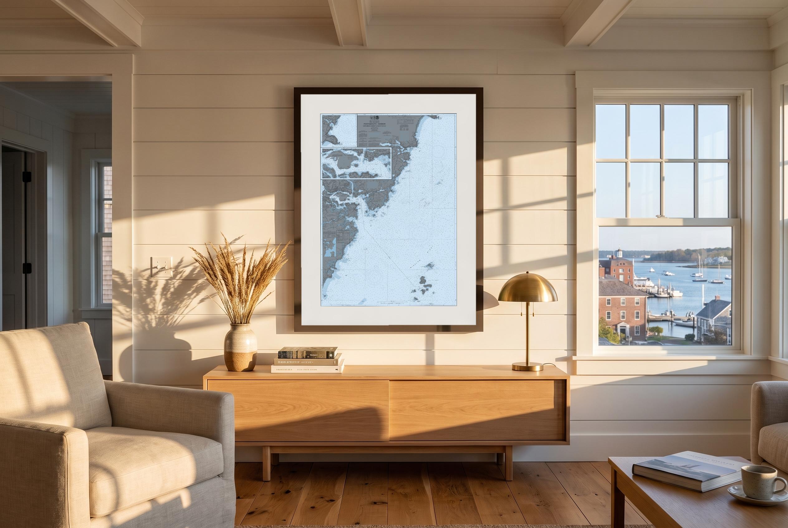
Portsmouth Harbor
One of the fastest navigable tidal rivers in the country. The current runs the town.
Print 24¾ × 35" · framed 31 × 41" overall · 2″ mat
Every size, to scale
Collection
Home water. The river, the run south from it, and the beaches that look out at the Isles of Shoals.
3 charts · 3 colours each · framed · $315–$975
Free shipping in the US.

Cold Front · nautical
NOAA 13283 · NH · ME
One of the fastest navigable tidal rivers in the country. The current runs the town.
Print 24¾ × 35" · framed 31 × 41" overall · 2″ mat
Every size, to scale

Cold Front · nautical
NOAA 13274 · NH · ME
Hampton to Rye, beach by beach — the Wall, Jenness, Sawyers, Straws Point, Odiornes Point — with the Isles of Shoals five miles off the whole way.
Print 31 × 15½" · framed 37 × 21" overall · 2″ mat
The original survey was scanned at a resolution that would go soft printed this big — 278 dpi against the 300 we sell at. We don’t sell a print we can’t make well.
Every size, to scale

Cold Front · nautical
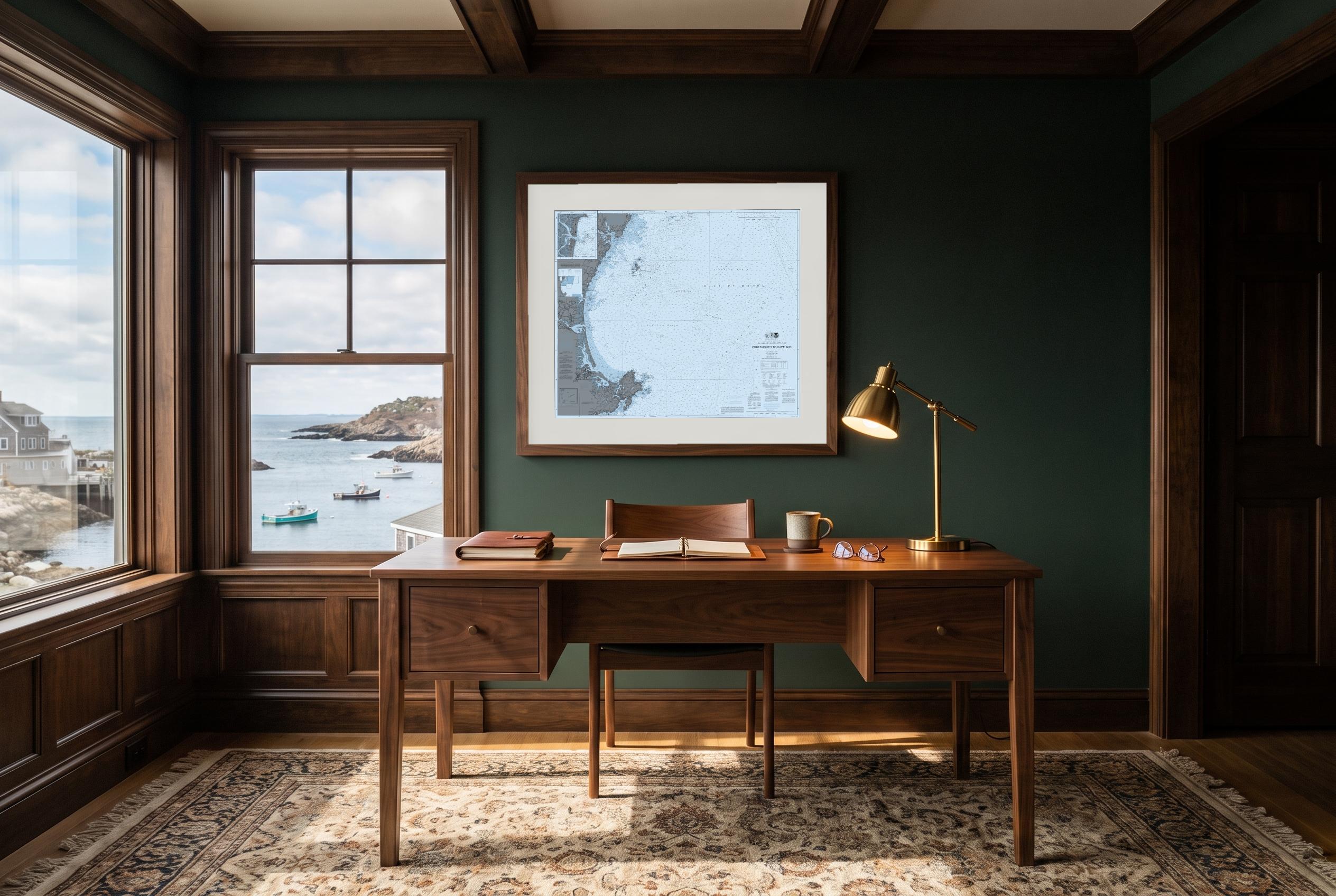
NOAA 13278 · NH · MA · ME
The run south: nine miles of open sand between rocky headlands, then the granite of Cape Ann.
Print 32 × 27" · framed 38 × 33" overall · 2″ mat
Every size, to scale