


NOAA 17400 · 2024 · AK
Southeast Alaska
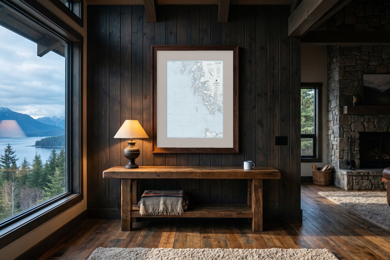
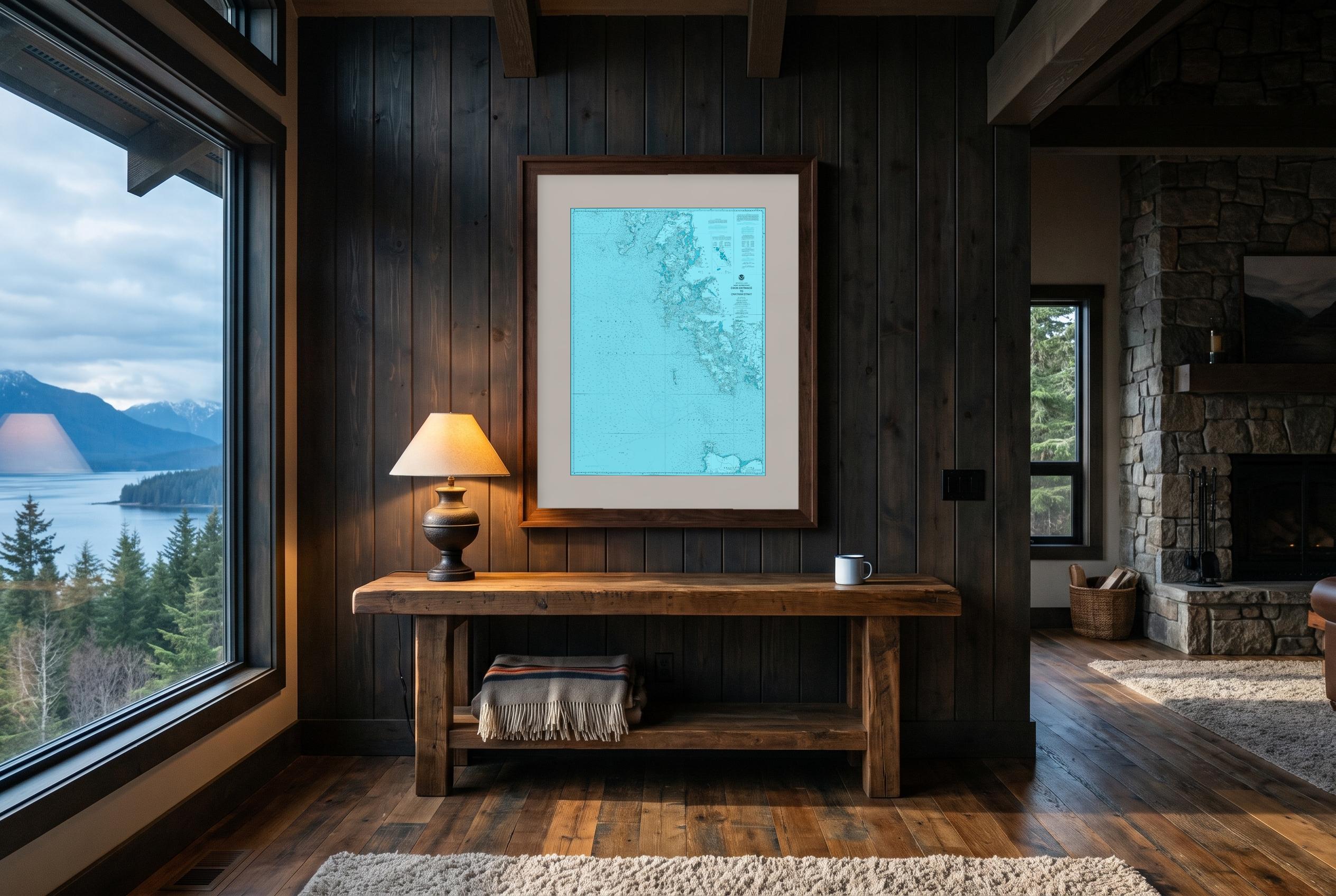
Dixon Entrance to Chatham Strait
The last edition NOAA published, at full survey detail, drawn in all 32 palettes. Same soundings, same coastline. Only the color changes.
5 sizes · $150–$650 · cut to this chart
Printed for you after you order — 7 to 10 days to your door. Free shipping in the US.
Text
The Nautical Series
The chart's own tones, refined. True to the water, easy to live with.
The Colorful Series
For the water that deserves to be loud. Real chart, turned all the way up.
The Weathered Series
Color, turned down. Dark land, pale water, worn the way a season on the salt wears everything.
The Blueprint Series
One color, dark to light. The soundings become the drawing.
Source: NOAA Office of Coast Survey, chart 17400. Modified visual portrayal. Not for navigation.
Next chart: Portsmouth to Cape Ann